Langarnama
Interactive real-time maritime surveillance, vessel tracking, and nautical GIS platform centered on Persian Gulf and Caspian Sea.
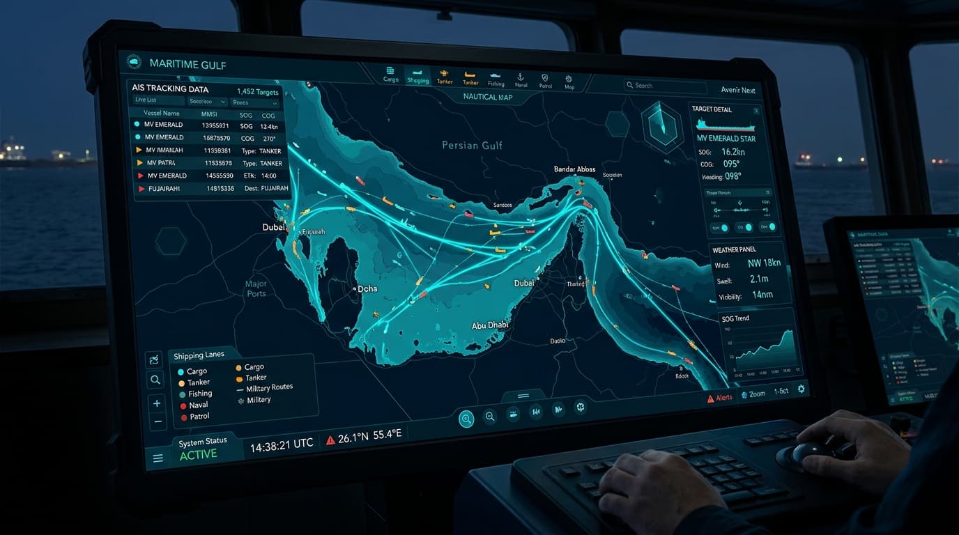
Overview
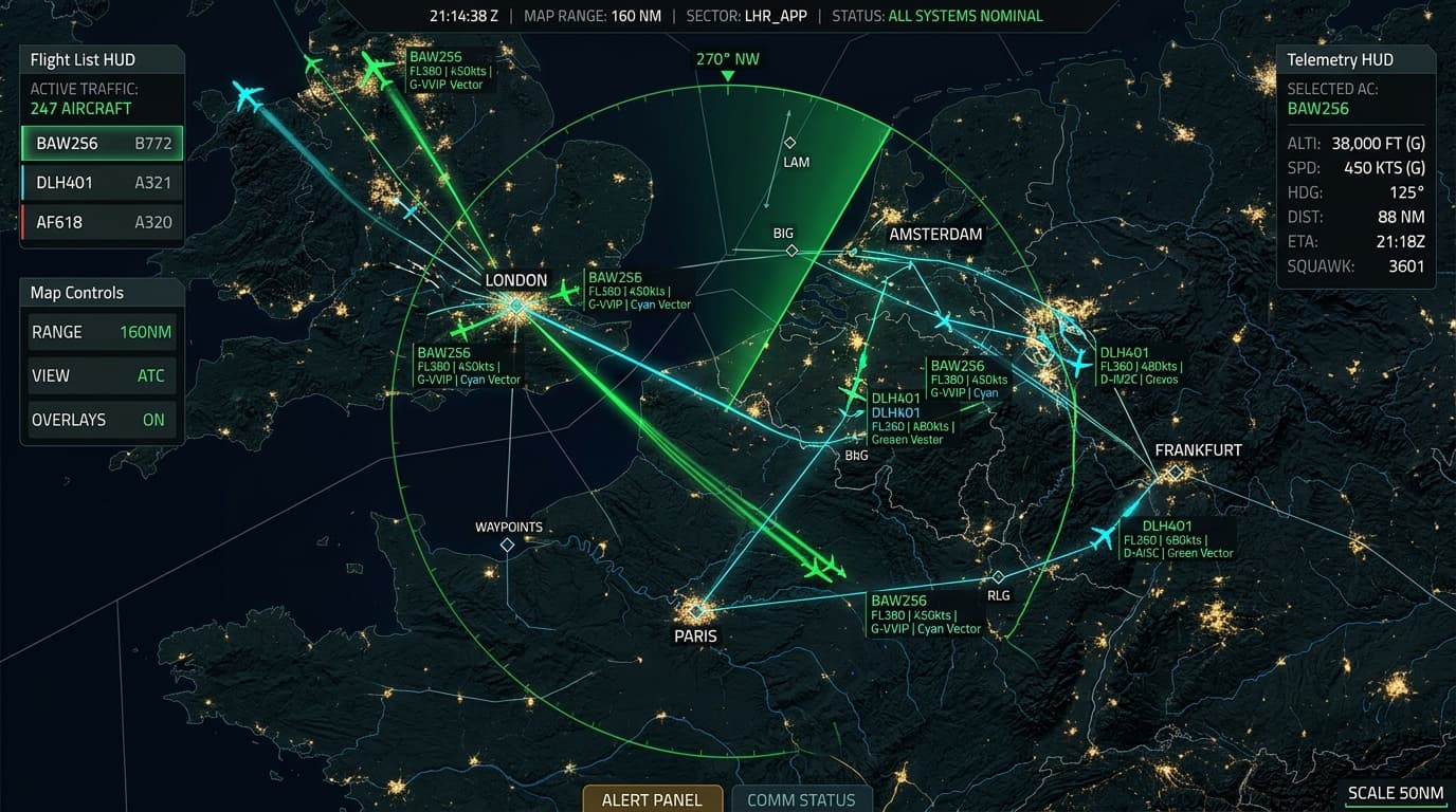
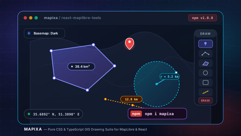
Langarnama is a specialized dark-themed maritime intelligence and vessel tracking application covering strategic Middle Eastern waters — the Persian Gulf, Strait of Hormuz, Gulf of Oman, and the Caspian Sea. Built with React 19, MapLibre GL, deck.gl 9, and FastAPI, it ingests live AIS telemetry via WebSockets into an async backend with in-memory spatial indexing. It features 20 Hz dead reckoning along COG/SOG, vessel classification with distinctive color codes, token-free nautical basemaps, tactical GIS drawing tools, and virtualized fleet directories.
Key Benchmark:
20 Hz nautical dead-reckoning interpolation with sub-millisecond layer updates
Key Engineering Features
Key Technical Challenges & Solutions
1Accurate vessel icon heading rotation and wake path curves in narrow straits
Utilized deck.gl hardware matrix transformations for heading rotation and spherical arc calculations along vessel trails.
2Complete coverage of Iranian waters without reliance on restricted external map APIs
Configured 5 open-access and Iranian local tile providers operating token-free with zero authentication bottlenecks.
Project Specifications
- Category
- geospatial
- Engineering Role
- Lead Frontend Engineer
- Status
- Production & Active
- Live Demo
- langarnama.ir/
- GitHub Repository
- github.com/seyedali-rafazi/langarnama